
In 1784, with the backing of Gov. Patrick Henry of Virginia, the Dismal Swamp Canal Company was created and digging began by hired slave labor in 1793. The canal is the oldest one continually operating in the U.S. but is primarily used now for recreational traffic. It was dismally hot and sticky but the scenery was anything but dismal.
 The trees reflect in the water almost like a mirror. Someone wrote that it’s “mysteriously beautiful” and I’d agree.
There were six boats at the free dock the night we were there. The visitors’ center had wonderful A.C. and since it’s a rest stop off a US Highway (17), the restrooms were open 24 hours for the boaters to use. It was rather odd to hear highway traffic when you walked away from the solitude of the canal.
 Did I mention it was hot? At 5pm it was 93.7 degrees below in the cabin – a new record; thank goodness for fans! Bad timing for our freezer to die but that’s what happened. Here’s what Ginger thought of it.
 The next day we toured the new Education Center. You access it and the nature/biking trails by crossing the canal on a swing bridge. About a month ago there was a lot more boat traffic through here; we’re kind of at the tail end of the snowbirds traveling north.
We left the next morning; it felt great to be moving and creating a breeze! This was the view looking aft; the trail of bubbles was quite visible in the still, dark water.

The canal is about 100 ft. wide and heavily wooded on both sides. We had to stay to the middle to avoid having a tree branch on the banks saying hello to our mast! After a few miles we passed into Virginia.

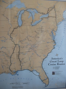
It was 17 miles to the Deep Creek Lock at the northern end of the canal where we were raised 10 feet up to the Elizabeth River. The mileage sign at the lock showed we’d come 1,239 statute miles from Key West - amazing!


No comments:
Post a Comment